Quin’s famous ‘Historical Atlas’ (1830): exceptional and cartography and design

Quin’s famous ‘Historical Atlas’ (1830): exceptional and cartography and design
QUIN, Edward
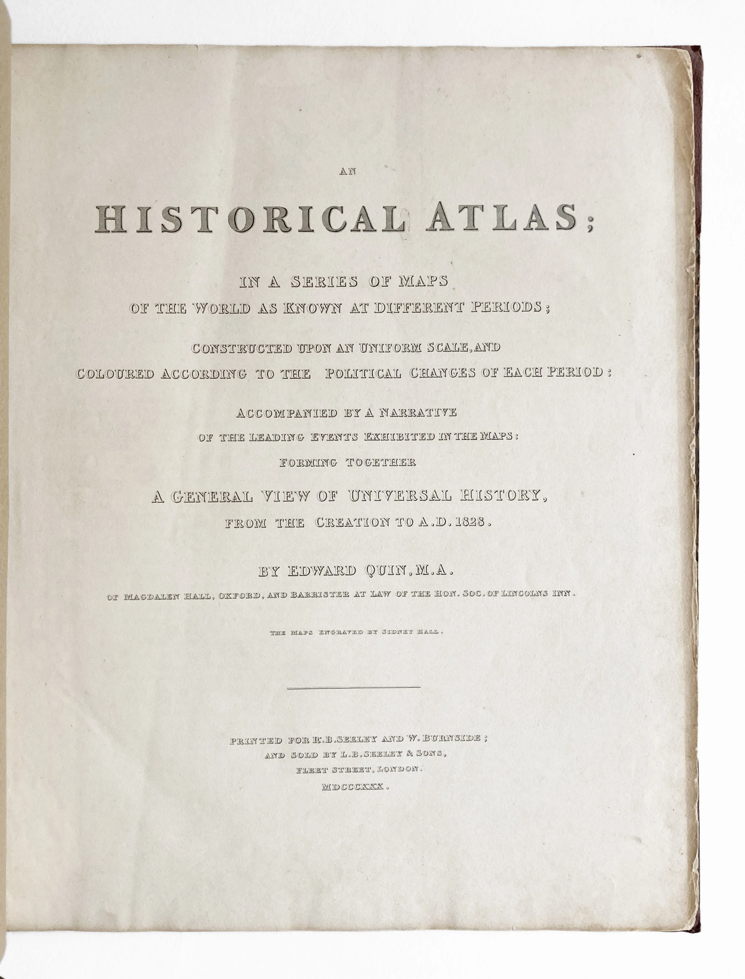
An Historical Atlas; In a Series of Maps of the World as Known at Different Periods […]
(Printed for R.B. Seeley and W. Burnside), 1830
Format: folio (340x415mm), pp. [3, interpolated leaves including the title-page, contents and first letterpress page], 93, [2], 21 maps (6 folding). Complete.
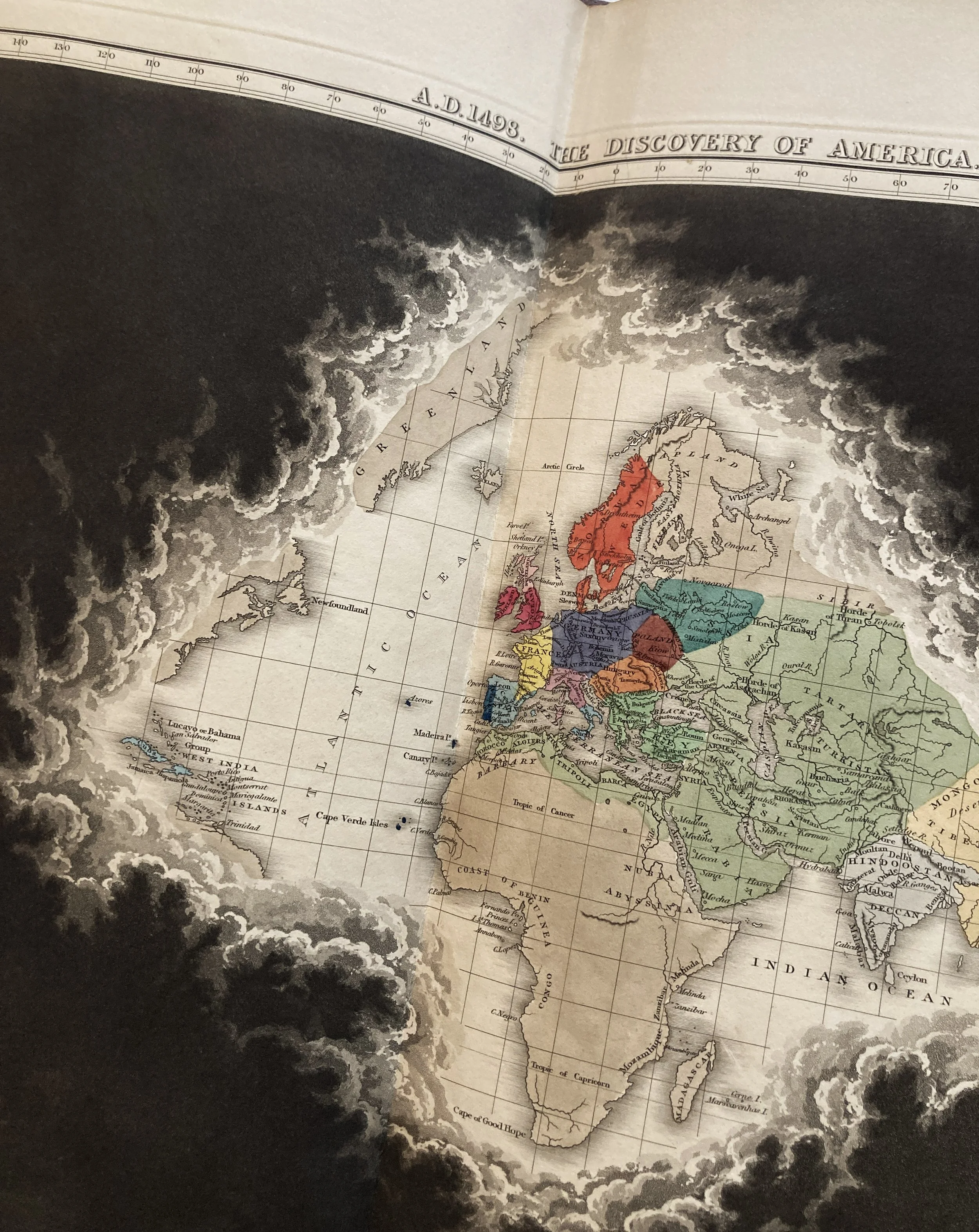
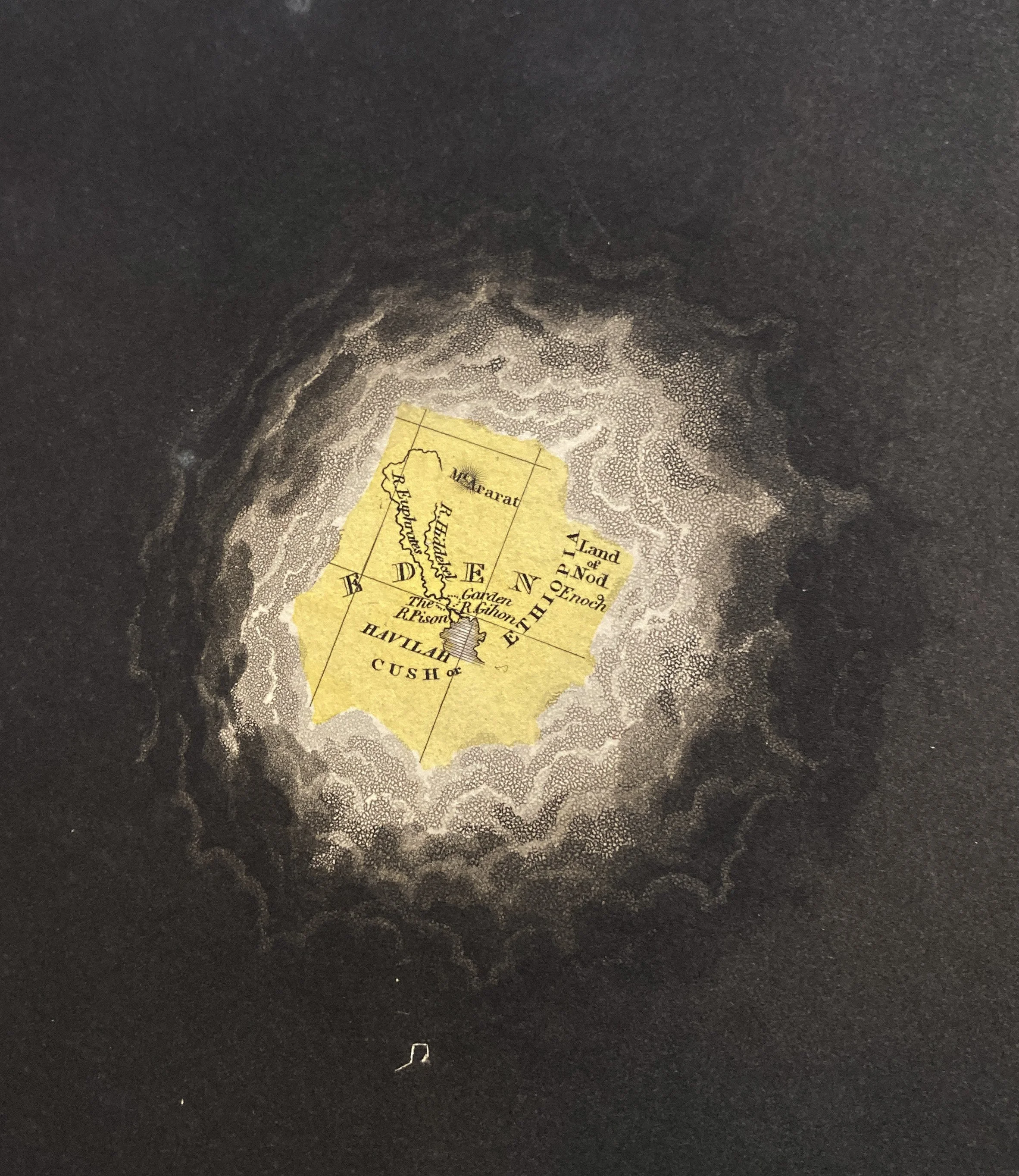
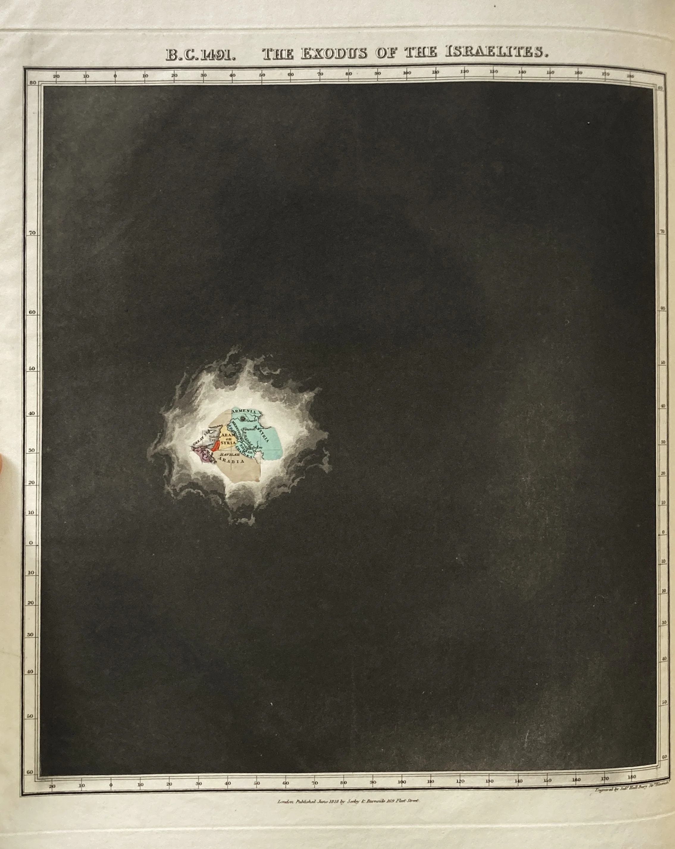
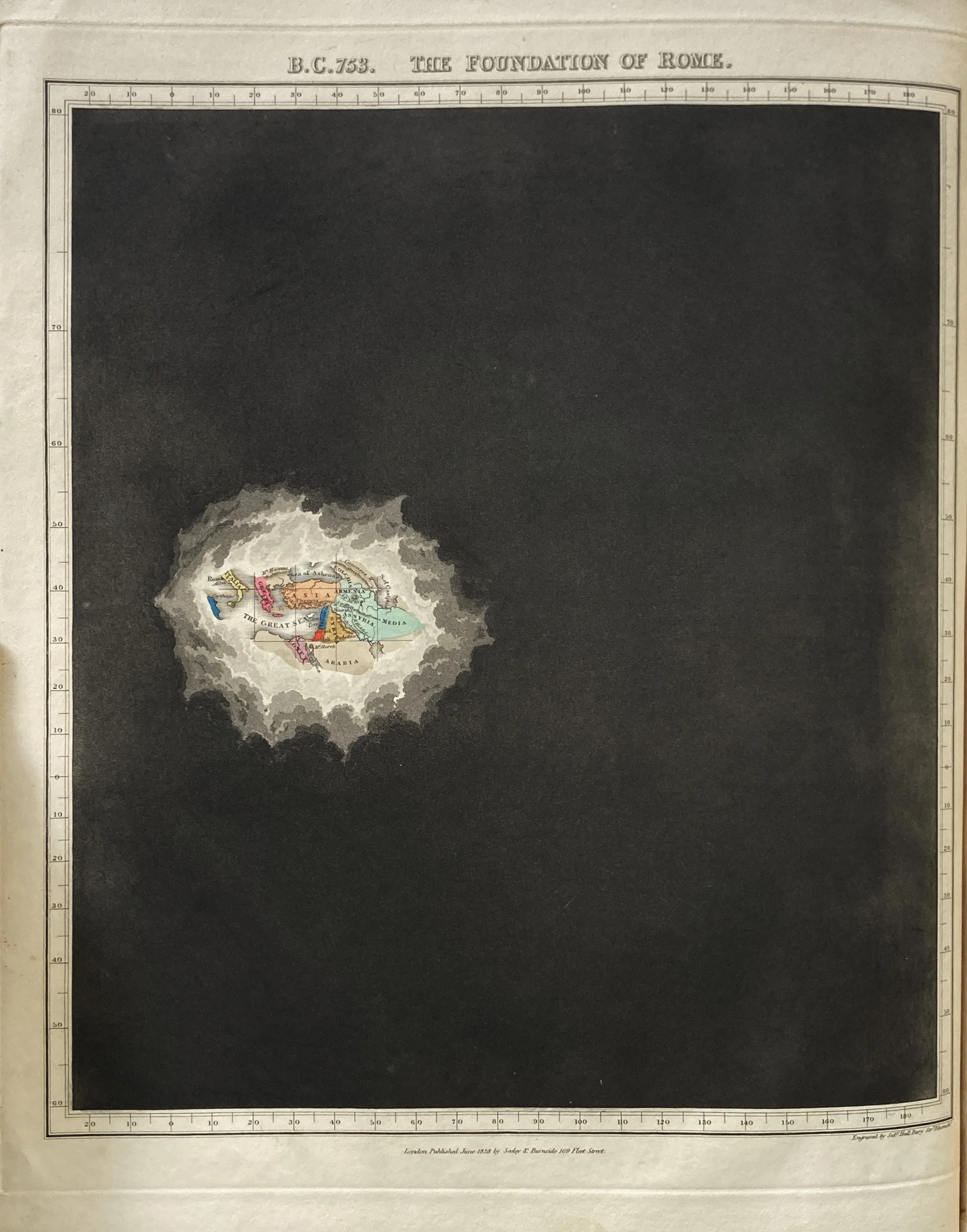
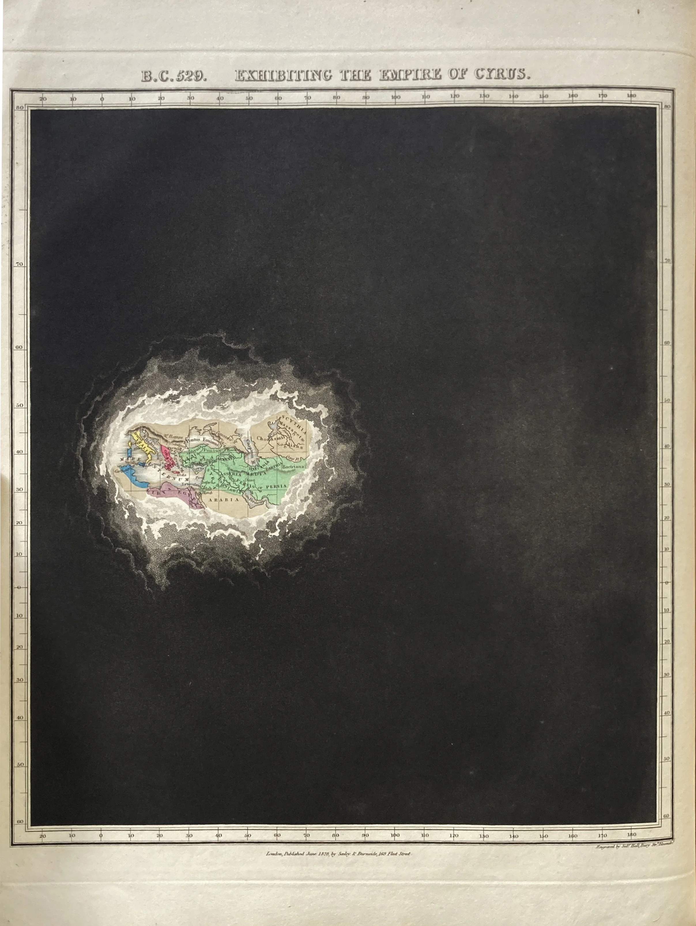
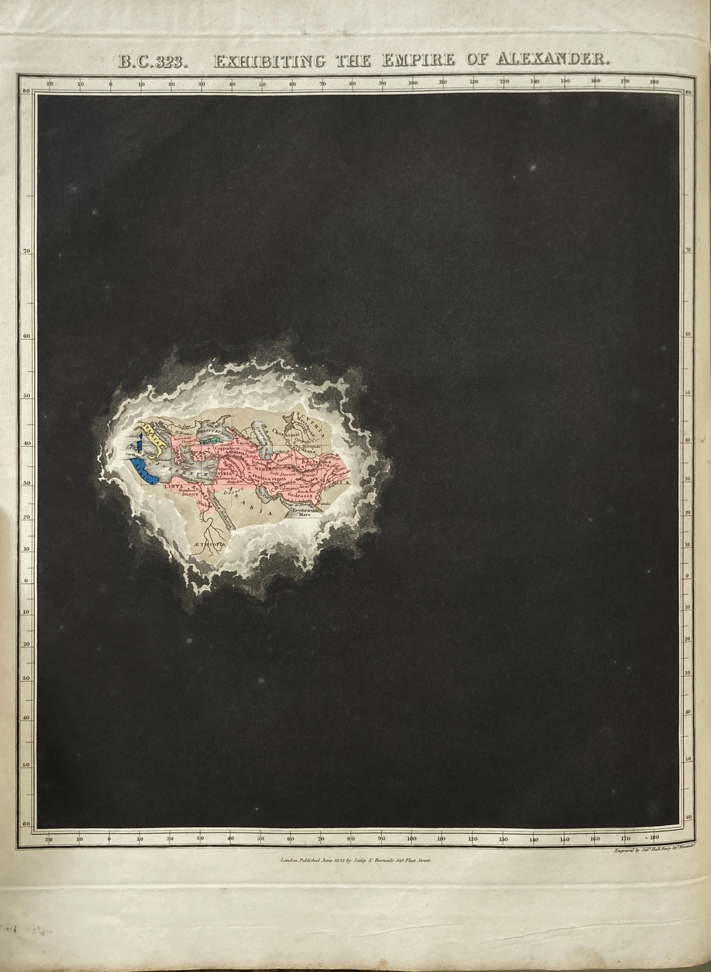
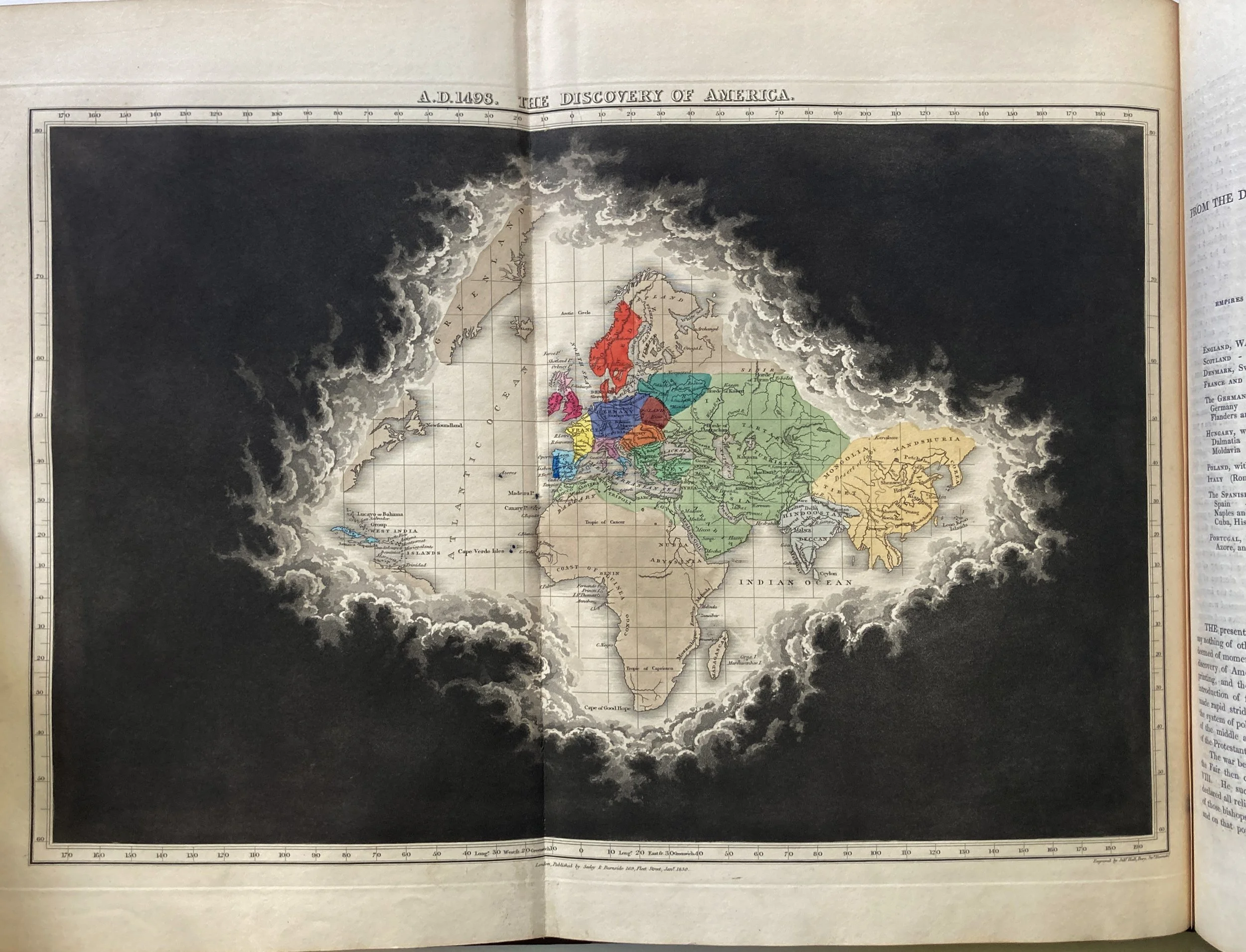
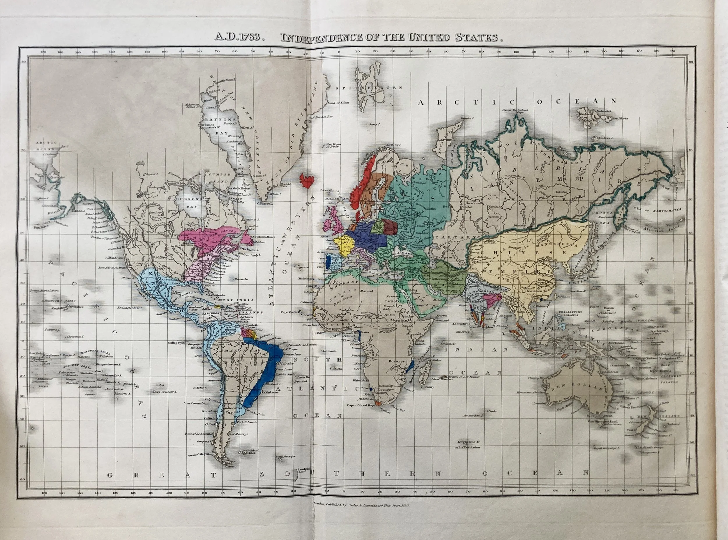
Virtuosic cartography: the world revealed in historical sequence. Quin’s Historical Atlas is justly famous as a masterpiece of atlas conception and printing. The unusual format of the maps is to use extensive black aquatint to show the ‘parting clouds’ of historical discovery, with exquisite hand-colouring of the landmasses themselves.
The sequence is unashamedly Western-centric and Christian apologist. The first map, ‘The Deluge’, shows only Eden – a tiny yellow hand-coloured area in a sea of black. subsequent maps show the Exodus of the Israelites (Assyria, Syria, Canaan, Egypt), the Foundation of Rome, the Empires of Cyrus and Alexander, the Rise of the Roman Empire, and so on, up to the spectacular ‘Discovery of America’ – the first double-size folding map.
Owing to the practice of splitting this atlas, complete bound copies in good condition are increasingly rare.
Very good condition: almost none of the foxing that typically affects this work. All maps in excellent condition. The only notable feature of this example is that the aquatint printing is less accomplished than in other examples, with some imperfections and unevenness of tone. Note that this is an issue with the original printing and not a subsequent condition point – see photographs. The volume has been rebacked in brown cloth, matching the original half-leather binding, and retaining the original marbled boards and paper cover title (heavily worn); new endpapers. Some edge-wear and chipping to page edges as always.

